


I’ve worked both at a company creating radar satellite images & ones using sat images to solve specific problems
I’ve interviewed some of the most thoughtful people working on SAR
I think SAR is one of the most promising satellite image tech but has an education problem
Thread:
Synthetic Aperture Radar -SAR- is an incredible type of satellite data: it allows to see through clouds, and at night
But there’s so much more, and I think that’s the first hurdle:
The main value of SAR isn’t easily understandable like most other Earth observation data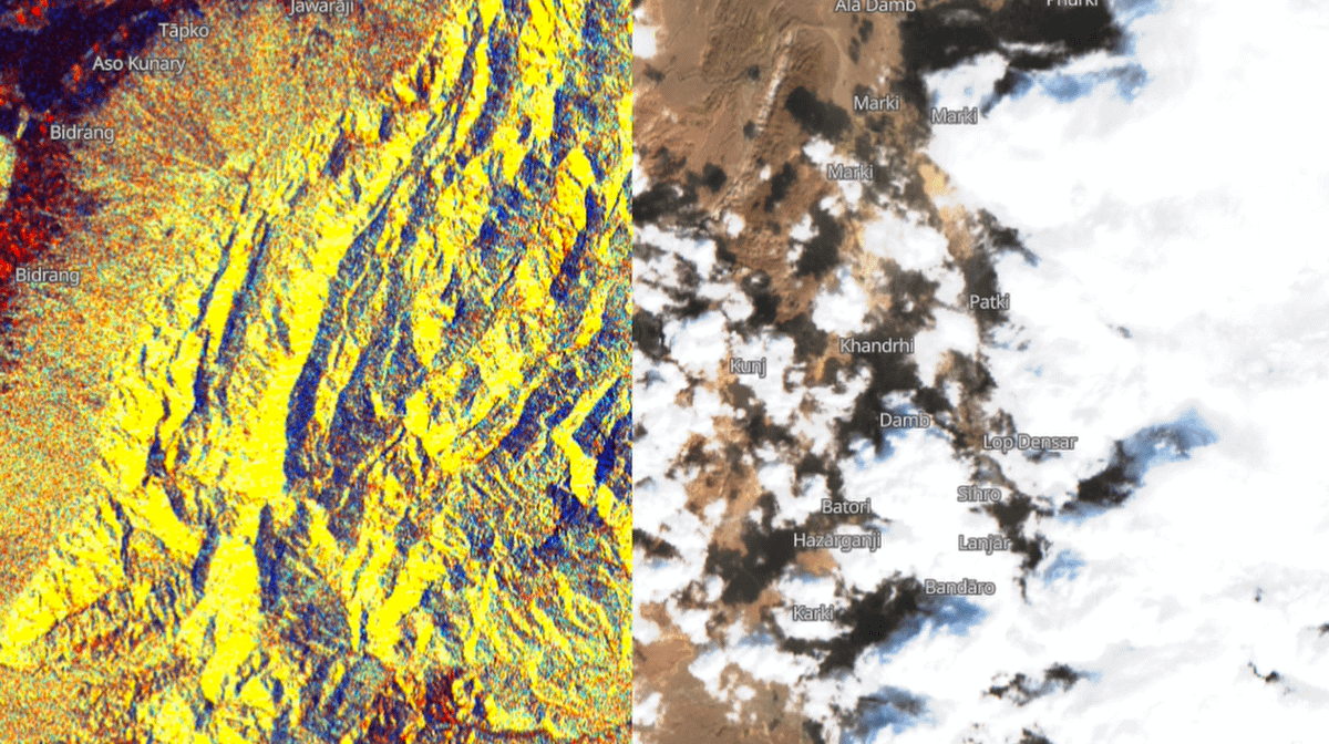
The value of optical images is simple to grasp
One look at this Maxar image showing Russian convoys in Ukraine is enough to showcase how powerful satellite images can be.
If you know anything about data science & ML your mind starts rushing with to new applications & ideas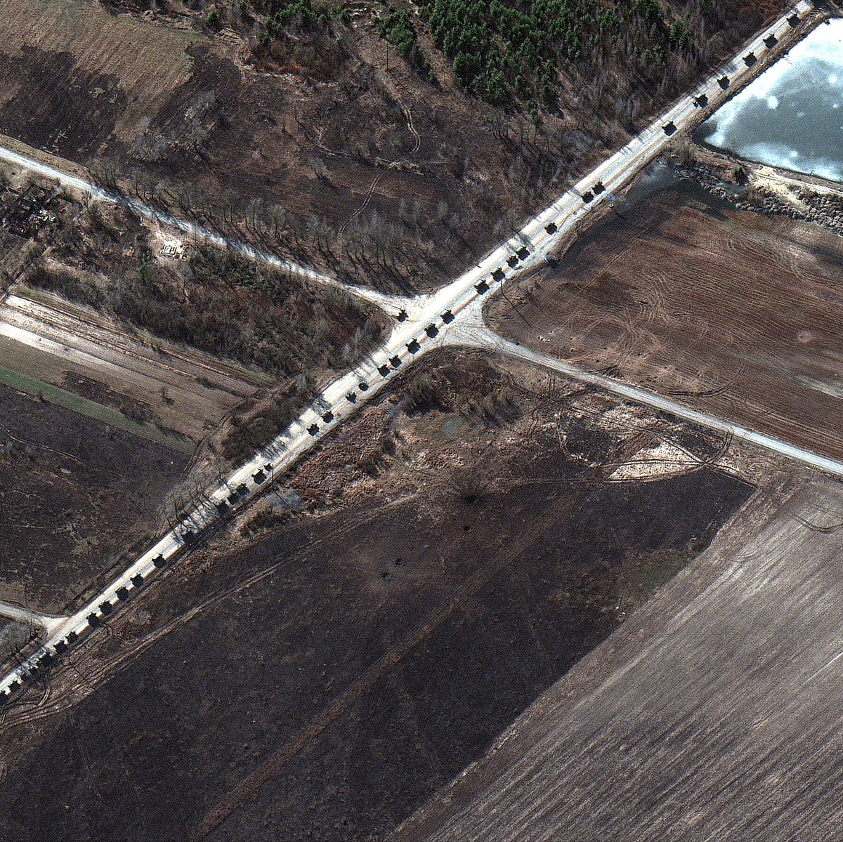
On the other hand, SAR is tricky to figure out.
Worse it's main value gets overshadowed by the ability to see through clouds & at night
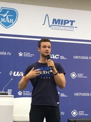
In my recent interview with him, @fortiain describes SAR as: “having a terrible history of being associated with seeing through clouds”
While that ability to see at night and through clouds makes SAR one of the best tools for persistent monitoring, it’s only scratching the surface
SAR shines (pun intended) when using multiple images to leverage polarisation
You can then see *millimetre* change from space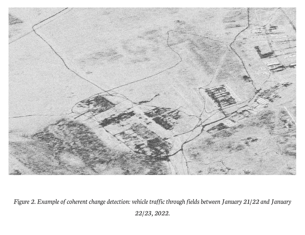
So why aren’t we seeing it being used more?
We explain SAR for 10min in my interview with @fortiain.
5 of those are the "intuitive" part
10 minutes.
And Iain is probably one of best teachers of this field on the planet
It’s just not easy to wrap your head around this thing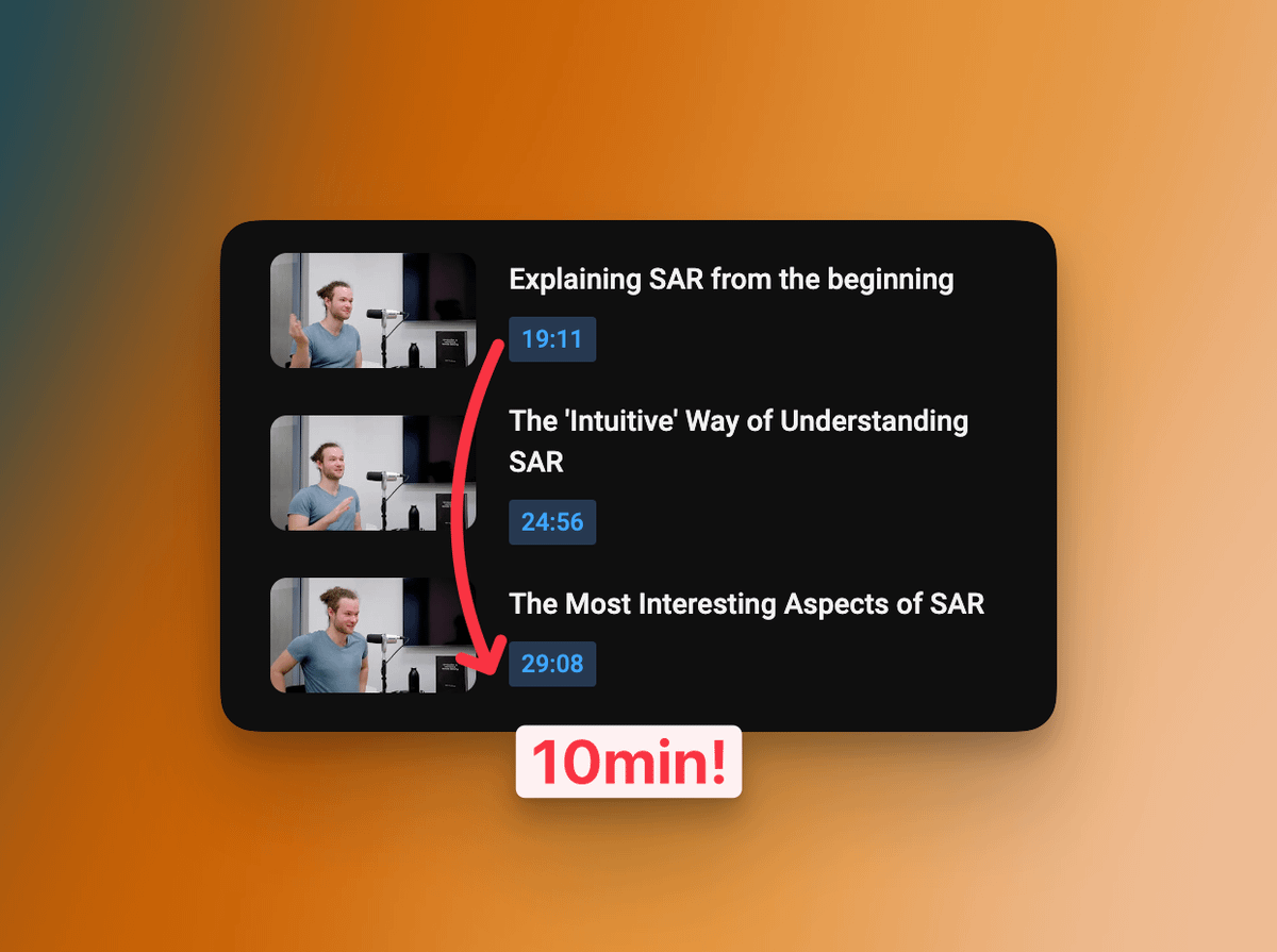
Back to Maxar’s image: I can tell my grandmother how useful those images are at monitoring trees; she can get it without knowing anything about satellites or image processing
Thanks to Christmas dinners where my family is obligated to sit with me for hours, I might explain SAR
This became apparent to me when joining a company that wants to solve a specific problem -preventing wildfires started from trees falling on power lines in this case- using satellite images
There, we’re looking for the best tool for the job.
I also started realising how important hiring is in a new field
If we really want the satellite image industry to blow up we better be ready to hire thousands of people.
I’m talking mostly about software engineering & data science here.
That’s where the problem lies IMHO
It’s relatively straightforward to hire pretty much any software engineer & data scientist today, run them through a ‘satellite image 101’ course and have them start doing significant contributions & innovations on optical satellite image processing
SAR doesn't plug into most engineers tools & knowledge as easily
And this isn’t dunking on engineers, I was surrounded by some of the most knowledgeable people in the field for a year and a half, and I still can’t quite fully wrap my head around how InSAR works
From my experience, SAR is just too complicated *today* to make a case for why a company should invest time in it.
That dramatically lowers the available hiring pool compared to optical.
It also requires building most tools to process it in-house
There are some counter-examples to this of course, many companies use SAR today operationally.
However I do think that if we want to expand the current industry by a couple orders of magnitude we need to make it easier to leverage SAR.
Here’s what I think we need:
- More books, tutorials, courses, etc. explaining the god damn thing.
- Tools to make it simpler to process.
I love SNAP for example but I don’t think it’s made for large scale production analysis and learning curve is pretty high
I’m genuinely surprised all the SAR companies aren’t investing more heavily in the above
I agree w/ @mouthofmorrison on pricing transparency being a big hurdle but we’re getting there
I think the next big step is making it technically accessible to the average software engineer
IMHO we need to think more like product designers:
Dramatically lower the barrier to entry, to make it easier for more people to come in.
I think there's too much friction in doing most things with SAR today. We aren't enabling people outside the industry to come up with ideas
This recent tweet sums up what I think happens too often in EO too:
The main value of ChatGPT isn’t the model, it’s the UI.
It made this tech available to virtually everyone, that’s the innovation. It’s a boring, simple yet incredibly impactful one
twitter.com/ylecun/status/1617921903934726144?s=61&t=xGOalkG1fnTpACCfBX5k1w
If you've made it this far you might find my full conversation with @fortiain interesting:
We talk about explaining SAR, what makes it interesting, where it's heading and what people getting into Earth Observation should keep an eye out for
youtu.be/WaY8e7YqaWI